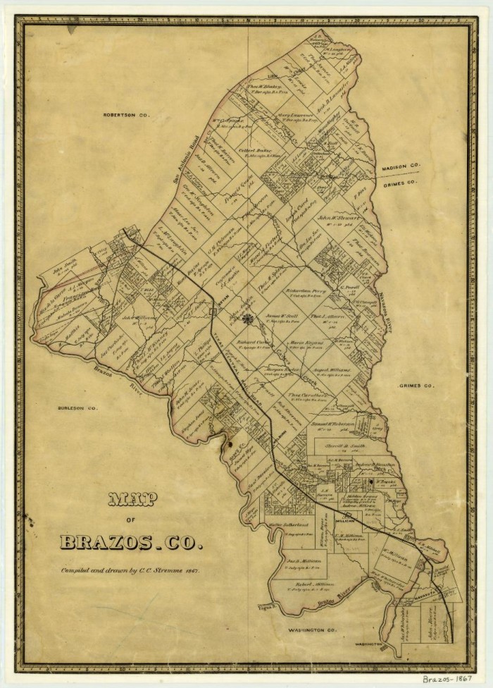
Brazos County, map, 1867
Title
Brazos County, map, 1867
Subject
Texas--History
Description
Map
Creator
C.C. Stremme
Source
The Portal to Texas History
Publisher
Texas General Land Office (Austin, TX)
Date
1867
Contributor
Chris Admire, Cynthia DuPont, Madeline Stewart, Zipporah Jackson, Haley Glover
Language
English
Type
General Works/Maps
Date Submitted
2015-08-20
Date Modified
2022-06-12
Bibliographic Citation
Stremme, C. C. Brazos County, map, 1867; (https://texashistory.unt.edu/ark:/67531/metapth88374/: accessed June 13, 2022), University of North Texas Libraries, The Portal to Texas History, https://texashistory.unt.edu; crediting Texas General Land Office.
Original Format
Map
Physical Dimensions
23.4" x 16.8"
Citation
C.C. Stremme, “Brazos County, map, 1867,” The Millican Massacre, 1868, accessed November 18, 2026, https://dhrace.net/millican/items/show/28.